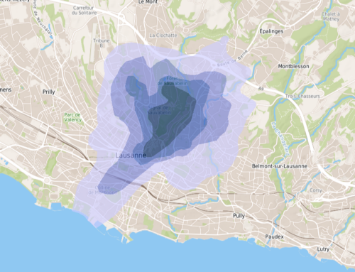
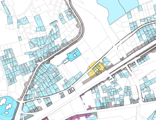
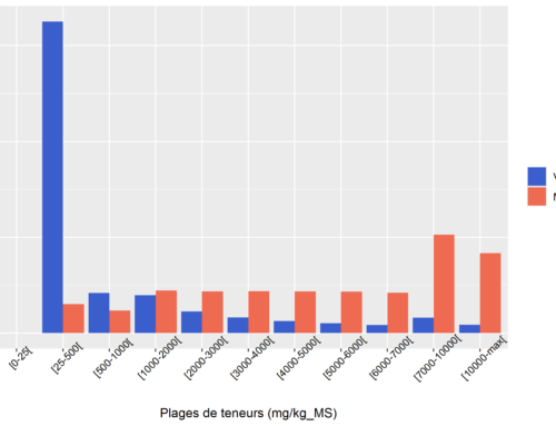
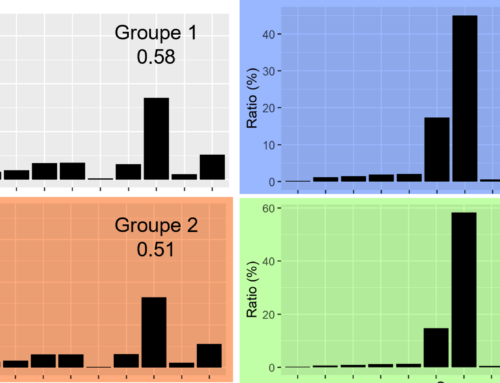
The Cartorisk project aims at developing a methodology for geostatistical mapping of human health risk, for brownfields in redevelopment. The project is funded by the ADEME and performed by eOde, Geovariances, Burgeap and Element-Terre. Purposes and working plan of the project were presented by eOde on March 16, 2016, at the 2016 Intersol conference in Lille.
Cartorisk project – Geostatistical mapping of human health risk for brownfields in redevelopment – Introduction at the Intersol conference in Lille, March 16 2016
Hélène Demougeot-Renard2016-10-31T09:35:57+01:00March 18th, 2016|Events, Geostatistics, Home, News|0 Comments


