eOde is involved in a wide range of activities related to environmental data analysis, from data processing to modeling, using statistics, geostatistics and GIS (software and computer languages : Matlab, R, Isatis, Isatis.neo, Kartotrak, AR2Tech-SgeMs, QGis).
In contaminated site studies, eOde maps in 2D or 3D highly polluted zones, designs sampling plans, estimates volumes of contaminated soil or groundwater, establishes initial soil volume and pollutant mass balances (Pareto-sol method) and final residual pollution amounts after treatment. eOde also provides targeted support to offices carrying out their own geostatistical studies and actively participates in the development of new methodologies through various research projects, such as REPERAGE or CARTORISK.
For the past 5 years, eOde has been requested to develop methodologies for mapping the pedogeochemical background of urban soils based on chemical analyses of solid samples, and to draw up indicative maps of soils at risk of pollution based on geodata, at the scale of a municipality, a district or a canton.
eOde is a historical actor of geostatistics of polluted sites, with an active participation for more than 20 years in the implementation of pragmatic approaches adapted to the reality of sites investigation and remediation in France and Switzerland. eOde has contributed to many training and information actions, such as :
- Creating GeoSiPol – workshop for promoting the use of geostatistics for assessing site contaminations
- Writing fact sheets and a methodological handbook for GeoSiPol
- Critical feedback on 15 years of geostatistics applied to contaminated sites for RECORD
- Feedback on the predictions of soil quantities requiring remerdiation for 23 former industrial sites for RECORD
- Review of the chapter dedicated to geostatistics in the UPDS handbook on toxic hotspots
- Numerous training sessions for contaminated sites specialists (CAS SIPOL, Aquaconsoil 2015, eOde-Geovariances workshops, etc.).
Projects
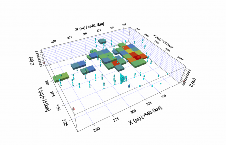
An optimized sampling plan to assess the volumes of contaminated backfills
An exemplary collaboration between contaminated sites specialists and geostatisticians conducted to decrease cost and time of a site earthwork and remediation operation.
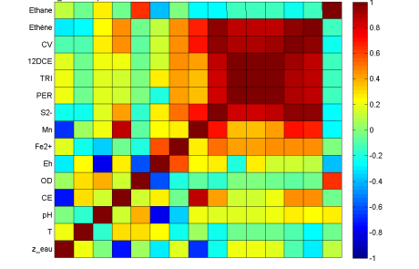
A few statistics to make monitoring data talk
Assessing the potential of natural biodegradation of a chlorinated hydrocarbons contamination making a detailed data analysis
Real-time contamination mapping
Overview of latest tools and methods
Events
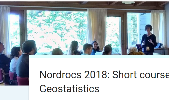
Short course in Copenhague, 3 September 2018 in the context of the NORDROCS conference on contaminated sites
On September 3 2018, eOde organised an introductive short course on geostatistics applied to contaminated sites with the companies DMR and Geovariances, in the context of the nordic meeting on contaminated sites NORDROCS. Around [...]
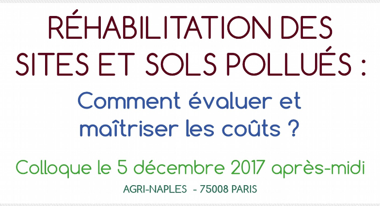
The benefits of geostatistics for contaminated sites and soils. Talk at the 10th Chloronet technical day in Soleure, 24 November 2017 and at the AFITE symposium in Paris, 5 December 2017
In partnership with Soleo Services, eOde will present the conditions for geostatistically assessing the effectiveness of an in situ thermal desorption of a chlorinated hydrocarbons contaminated site, at the annual Chloronet technical day organized [...]

