Project Description
CARTORISK – Geostatistical mapping of health risks. Towards a cost-benefit analysis of urban and industrial brownfields regeneration.
Regenerating industrial brownfields is a major challenge for urban development and densification. There are numerous difficulties to define the best redevelopment option, because of multiple constraints, such as budget limitations or land use management regulations.
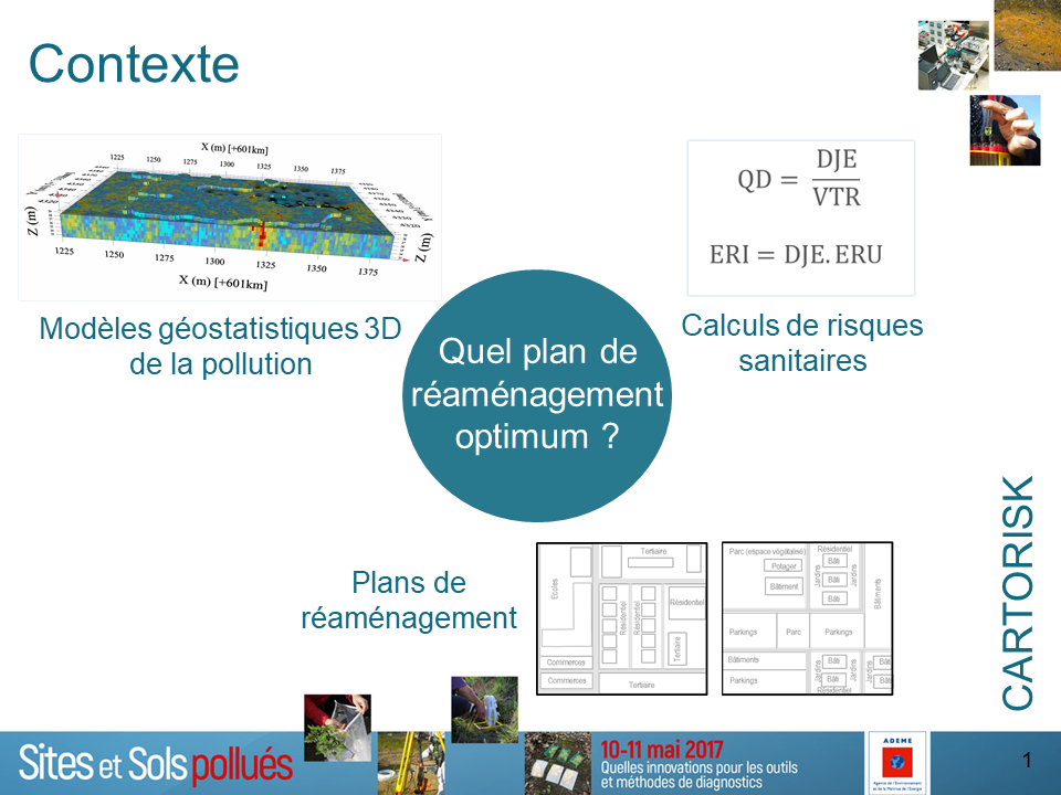
Actions to reduce health risks associated to soil contamination are required in these contexts, and mapping health hazards may therefore be useful to study and compare various rehabilitation plans. Geostatistical methods allow to integrate rigorously spatial variability of contamination in the modeling, and to quantify estimation uncertainty due to data scarcity.
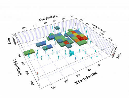
Risk mapping is obtained by applying transfer and exposure functions to geostatistical models of soil contamination. Methodological choices are required at each computation step, specifically to go from a 3D imaging of soil pollution to a 2D mapping of health risks at the soil surface, at the different levels of buildings and in outdoor areas.
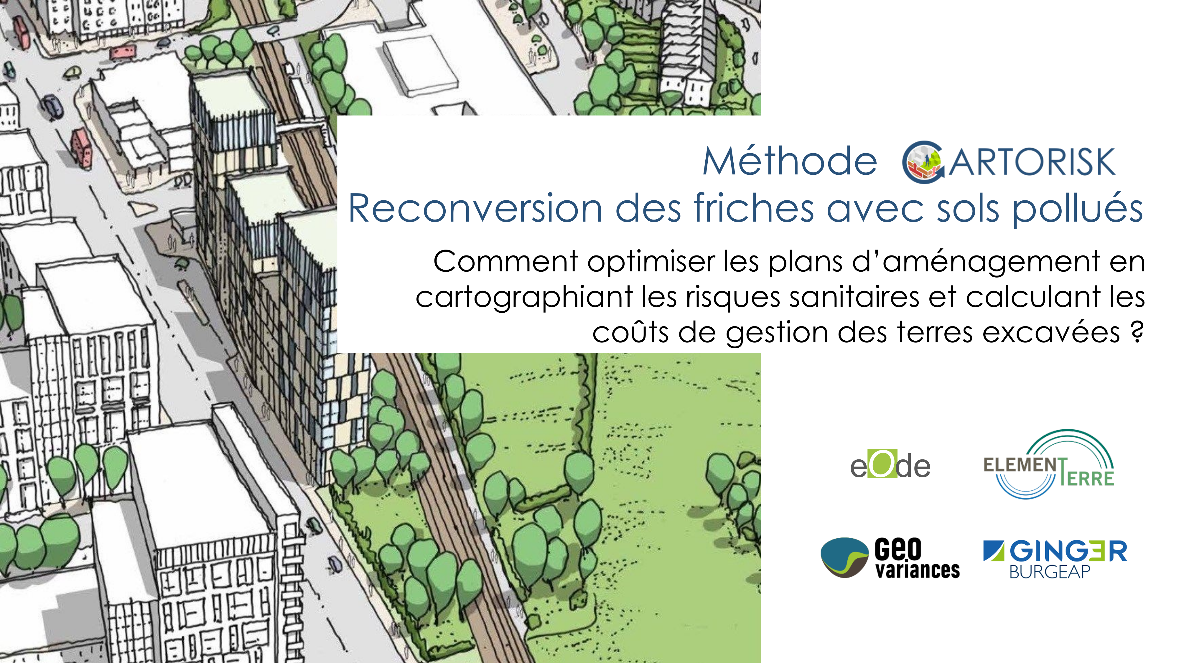
Funded by the ADEME since 2015 and developed in partnership with 3 environment engineering companies (Element-Terre, Ginger Burgeap, Geovariances), the Cartorisk project is dedicated to health risks spatialization to sustain redevelopment of brownfields, with 3 purposes : 1) develop a general method to map risks, 2) test it on 2 former industrial sites showing contrasting features in terms of contamination, exposure pathways and redevelopment, 3) define with a panel of experts the conditions of implementing such mapping in the decision process of rehabilitation, to maximize benefits in operational conditions. Coordinated by eOde, final results are expected by the end of 2018.
Cartorisk was presented at the Intersol conference in Lyon on 16 March 2016, at the fifth Ademe technical day about brownfields redevelopment at Paris on 29 March 2017, and at the Aquaconsoil conference at Paris on 28 June 2017.
