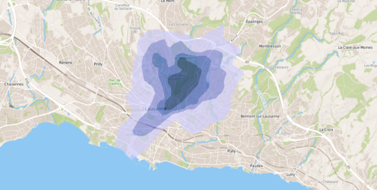
A geostatistical model as a basis for the health recommendation maps issued by the canton of Vaud for the population
FGU – Determination of normal background concentrations in urban and peri-urban soils in France
Hélène Demougeot-Renard2018-01-16T10:50:44+01:00A national project to define distributions and map normal background values in soils of the cities and their periphery
CARTORISK – Geostatistical mapping of health risks
Hélène Demougeot-Renard2018-01-14T15:45:32+01:00An innovation project to develop a method for health risks mapping and define its implementation in the decision process of brownfields redevelopment
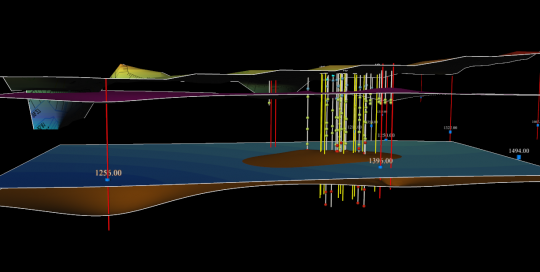
Geostatistical estimation of a contaminated area and its in situ remediated mass of chlorinated hydrocarbons
Hélène Demougeot-Renard2018-01-14T15:46:11+01:00An original approach based on a double geostatistical modeling - before and after in situ remediation
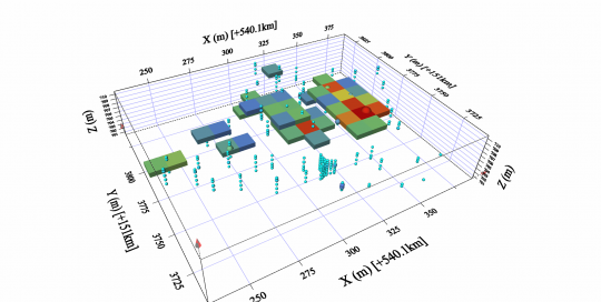
An optimized sampling plan to assess the volumes of contaminated backfills
Hélène Demougeot-Renard2018-01-14T15:46:53+01:00An exemplary collaboration between contaminated sites specialists and geostatisticians conducted to decrease cost and time of a site earthwork and remediation operation.
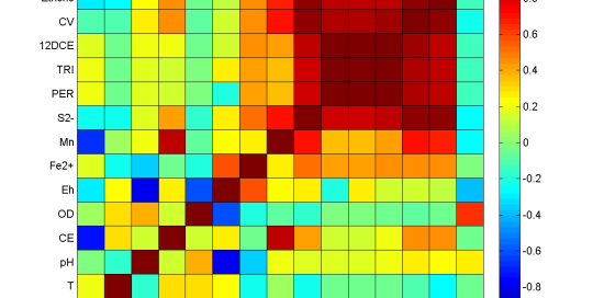
A few statistics to make monitoring data talk
Hélène Demougeot-Renard2016-10-31T09:35:57+01:00Assessing the potential of natural biodegradation of a chlorinated hydrocarbons contamination making a detailed data analysis
Real-time contamination mapping
Sylvain2016-10-31T09:35:57+01:00Overview of latest tools and methods

